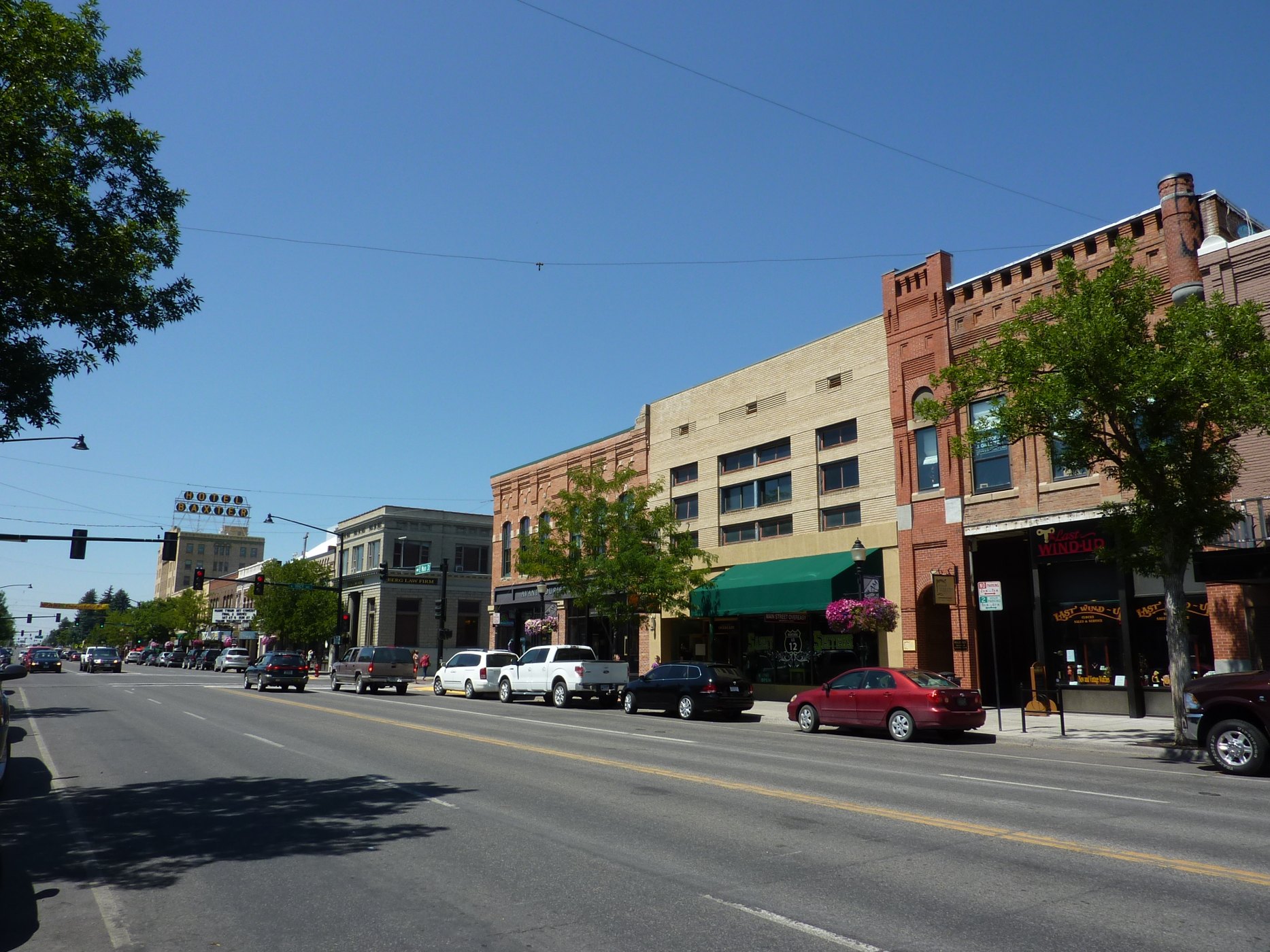
Outdoors
Horseback riding near Bozeman
Trails and recreation areas near Bozeman open to horseback riding, including horse camps.
15places to ride horses
0 mito the closest
4within 30 miles
March–Octoberbest months
Good to know: Check trailer parking and stock water at the trailhead, and whether certified weed-free hay is required.
Closest picks
Mystic Lake Cabin
11 mi southeast · USDA Forest Service
Mystic Lake Cabin was built in 1930 and is currently open year-round. It provides access to a variety of recreational activities, including fishing, hunting and exploration of numerous trails. The cabin is located in a non-motorized area.
Trail Creek Cabin
12 mi southeast · USDA Forest Service
Trail Creek Cabin, built in 1924, was the original ranger station for the Bozeman Ranger District. It is available year round, offering guests the chance to enjoy summer or winter recreation.
Map of all 15 places
Map of 15 places loads as you scroll.
Within 30 miles (4)
Custer Gallatin National Forest
- Biking
- Boating
- Camping
- Fire Lookouts/Cabins Overnight
- Fishing
- Hiking
- Horseback riding
- Off-highway vehicles
Mystic Lake Cabin
Mystic Lake Cabin was built in 1930 and is currently open year-round. It provides access to a variety of recreational activities, including fishing, hunting and exploration of numerous trails. The cabin is located in a non-motorized area.
- Biking
- Camping
- Fishing
- Hiking
- Horseback riding
- Hunting
- Wildlife viewing
- Winter sports
Trail Creek Cabin
Trail Creek Cabin, built in 1924, was the original ranger station for the Bozeman Ranger District. It is available year round, offering guests the chance to enjoy summer or winter recreation.
- Camping
- Hiking
- Horseback riding
- Wildlife viewing
- Winter sports
Window Rock Cabin
Window Rock Cabin was built in 1940 and now offers a year-round retreat for outdoor enthusiasts. It is ideally located in one of Gallatin National Forest's most popular recreation areas. The cabin is accessible by car in the summer.
- Biking
- Camping
- Fishing
- Hiking
- Horseback riding
- Hunting
- Wildlife viewing
- Winter sports
30 to 75 miles (1)
Henry's Lake Wilderness Study Area
In Idaho, BLM manages 350 acres of public lands in the Henry's Lake Wilderness Study Area. Lush riparian vegetation like rose aspen, willow, serviceberry and snowberry follow the creek.
- Camping
- Fishing
- Hiking
- Horseback riding
- Hunting
- Photography
- Wildlife viewing
75 miles and farther (10)
Yellowstone National Park
On March 1, 1872, Yellowstone became the first national park for all to enjoy the unique hydrothermal wonders. Today, millions of people come here each year to camp, hike, and enjoy the majesty of the park.
- Biking
- Boating
- Camping
- Fishing
- Hiking
- History
- Horse Camping
- Horseback riding
Humbug Spires WSA
This 11,175-acre roadless area is located 26 miles south of Butte. Impressive granite outcroppings, part of the Boulder Batholith, rise 300-600 feet and provide outstanding rockclimbing opportunities, most of which range from 5.5 to 5.7 in…
- Camping
- Climbing
- Fishing
- Hiking
- Horseback riding
- Photography
- Wilderness
- Wildlife viewing
Red Rock Lakes National Wildlife Refuge
Red Rock Lakes National Wildlife Refuge has often been called the most beautiful National Wildlife Refuge in the United States.
- Biking
- Boating
- Camping
- Cross Country Skiing
- Fishing
- Hiking
- Horseback riding
- Hunting
Beaverhead-Deerlodge National Forest
- Biking
- Boating
- Camping
- Fire Lookouts/Cabins Overnight
- Fishing
- Hiking
- Horse Camping
- Horseback riding
Centennial Mountains
Centennial Mountains - This 28,000-acre mountain range, which forms the boundary between southwest Montana and Idaho, is some of southwest Montana’s wildest country.
- Fishing
- Hiking
- Horseback riding
- Photography
- Wildlife viewing
Helena-Lewis and Clark National Forest
- Camping
- Fire Lookouts/Cabins Overnight
- Hiking
- Horseback riding
- Off-highway vehicles
- Picnicking
- Winter sports
Clarks Fork of The Yellowstone
The Clarks Fork of the Yellowstone flows through the Shoshone National Forest through the awesome Clarks Fork Canyon into BLM-administered public lands, located just inside the mouth of the canyon.
- Boating
- Fishing
- Hiking
- Horseback riding
- Hunting
- Nature education
- Off-highway vehicles
- Photography
Bald Ridge Trail
This horseback riding and hiking trail winds for five miles through BLM-managed public lands and state lands to Bald Ridge in the Shoshone National Forest . The elevation ranges from 4,880’-8,400’.
- Camping
- Camping Area
- Hiking
- Horseback riding
- Photography
- Wildlife viewing
Four Bear Trail
The Four Bear Trailhead provides access to the Four Bear Trail that is suitable for horseback riding, hiking, and limited mountain biking.
- Hiking
- Horseback riding
- Hunting
- Photography
- Wildlife viewing
Sheep Mountain Trail
The Sheep Mountain Trail is a foot/horse trail that winds up an impressive box canyon to the top of Sheep Mountain, where visitors have the freedom to explore over 25,000 acres of BLM-administered public lands.
- Hiking
- Horseback riding
- Hunting
- Photography
- Wildlife viewing
Distances are straight-line miles from downtown Bozeman. Listings come from Recreation.gov’s federal recreation database; check each official page for hours, fees, fire restrictions and closures before you go.
Get outside around Bozeman
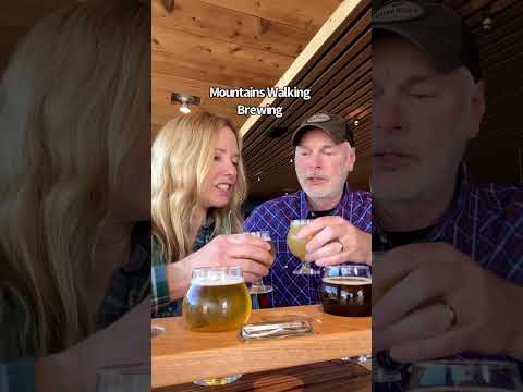
THINGS TO DO · YOUTUBE SHORT
5 Reasons to Visit Bozeman, MT
A local activity Short shared by bestwesternTV.
Watch on YouTube ↗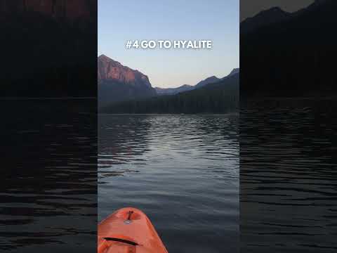
THINGS TO DO · YOUTUBE SHORT
10 Best Things to Do in Bozeman, MT in the Summer
A local activity Short shared by Bozeman Real Estate Group.
Watch on YouTube ↗Around Bozeman


More outdoors near Bozeman
- Hiking near Bozeman
- Camping near Bozeman
- Fishing near Bozeman
- Boating and kayaking near Bozeman
- Biking and mountain biking near Bozeman
- Picnic spots near Bozeman
- Wildlife viewing and birding near Bozeman
- Swimming holes and lakes near Bozeman
- Off-roading and OHV areas near Bozeman
- Snow play and winter sports near Bozeman
- Parks in Bozeman
- Day trips
- Weather by month
Questions
Where is the closest place for horseback riding near Bozeman?
Custer Gallatin National Forest (USDA Forest Service), about 0 miles south of Bozeman as the crow flies. Next are Mystic Lake Cabin (11 mi) and Trail Creek Cabin (12 mi).
When is the best time for horseback riding near Bozeman?
Based on Bozeman’s average highs, March–October. Conditions at higher elevations can be much cooler.
Who manages these places?
Federal agencies including Bureau of Land Management, USDA Forest Service, National Park Service. Each listing links to its official page for hours, fees, closures and current conditions.