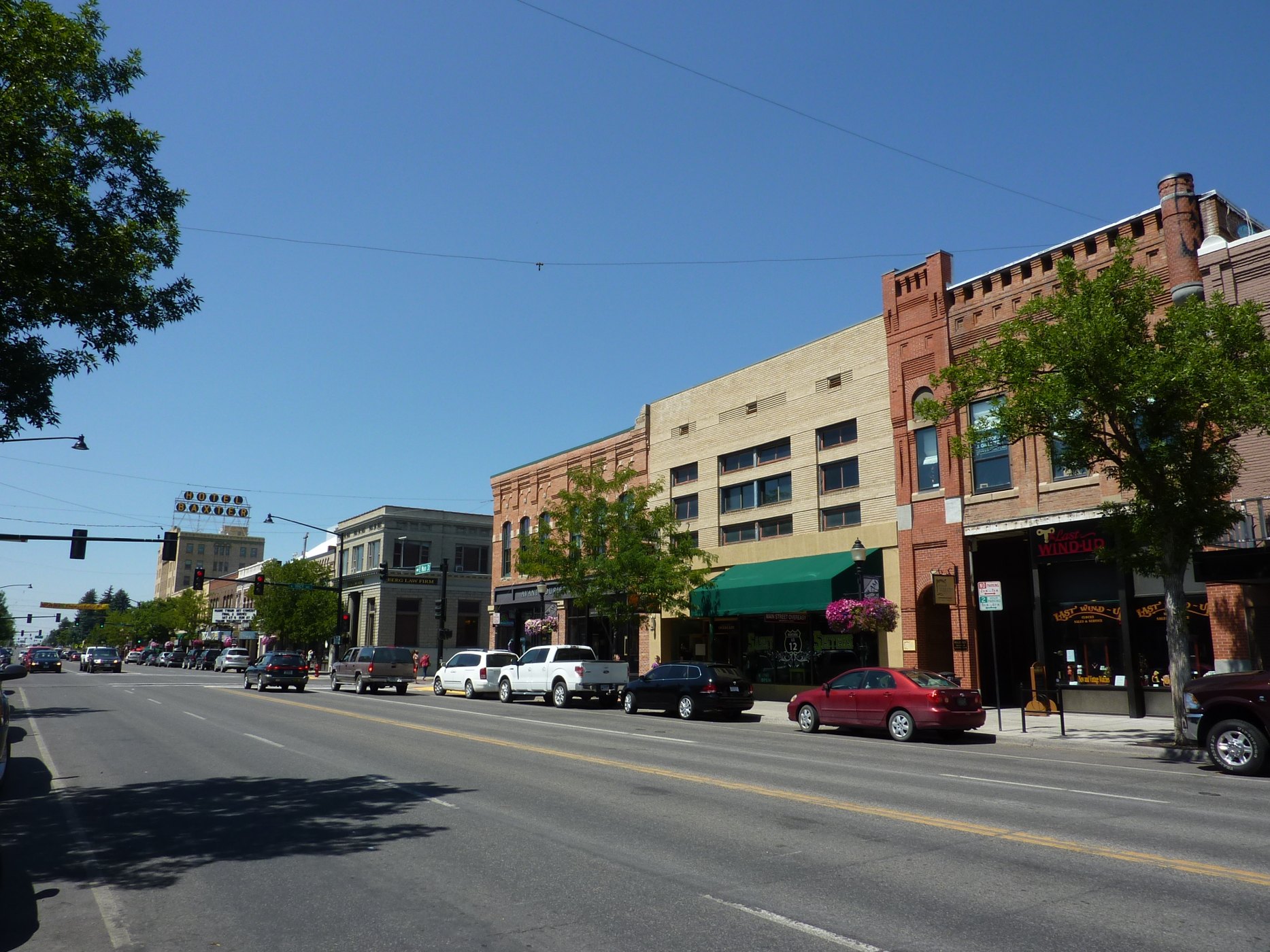
Outdoors
Hiking near Bozeman
National forests, parks, lakes and recreation areas with hiking trails near Bozeman, closest first.
32places to hike
0 mito the closest
17within 30 miles
March–June, August–Octoberbest months
Good to know: Carry more water than you think you need, check the managing agency’s page for trail closures and fire restrictions, and start early on hot days.
Closest picks
Lower Hyalite Group
9 mi south · USDA Forest Service
Lower Hyalite Group Site is located in scenic Hyalite Canyon on the Bozeman Ranger District of the Gallatin National Forest. It is just nine miles south of Bozeman, MT.
Langohr Campground
10 mi south · USDA Forest Service
Langohr Campground is located in scenic Hyalite Canyon on the Bozeman Ranger District of the Gallatin National Forest. It is located just 12 miles south of Bozeman, Mont.
Map of all 32 places
Map of 32 places loads as you scroll.
Within 30 miles (17)
Custer Gallatin National Forest
- Biking
- Boating
- Camping
- Fire Lookouts/Cabins Overnight
- Fishing
- Hiking
- Horseback riding
- Off-highway vehicles
Lower Hyalite Group
Lower Hyalite Group Site is located in scenic Hyalite Canyon on the Bozeman Ranger District of the Gallatin National Forest. It is just nine miles south of Bozeman, MT.
- Backpacking
- Berry Picking
- Birding
- Boating
- Camping
- Climbing
- Fishing
- Hiking
Langohr Campground
Langohr Campground is located in scenic Hyalite Canyon on the Bozeman Ranger District of the Gallatin National Forest. It is located just 12 miles south of Bozeman, Mont.
- Backpacking
- Biking
- Birding
- Camping
- Fishing
- Hiking
- Mountain Biking
- Photography
Mystic Lake Cabin
Mystic Lake Cabin was built in 1930 and is currently open year-round. It provides access to a variety of recreational activities, including fishing, hunting and exploration of numerous trails. The cabin is located in a non-motorized area.
- Biking
- Camping
- Fishing
- Hiking
- Horseback riding
- Hunting
- Wildlife viewing
- Winter sports
Trail Creek Cabin
Trail Creek Cabin, built in 1924, was the original ranger station for the Bozeman Ranger District. It is available year round, offering guests the chance to enjoy summer or winter recreation.
- Camping
- Hiking
- Horseback riding
- Wildlife viewing
- Winter sports
Fox Creek Cabin (Mt)
Fox Creek Cabin is a former ranger station located in a remote area. It is very small and offers only basic amenities. Guests will need to bring most of the gear and supplies they need to have a comfortable and enjoyable stay.
- Biking
- Camping
- Fishing
- Hiking
- Hunting
- Wildlife viewing
- Winter sports
Hood Creek Campground
Hood Creek Campground is located next to scenic Hyalite Reservoir, on the Bozeman Ranger District of the Gallatin National Forest. It is 17 miles south of the city of Bozeman, Mont.
- Backpacking
- Berry Picking
- Biking
- Birding
- Boating
- Camping
- Canoeing
- Fishing
Hyalite Pavilion
The Hyalite Pavilion is a day use picnicking area located next to scenic Hyalite Reservoir in the Gallatin National Forest. It is 15 miles south of the city of Bozeman, MT.
- Backpacking
- Birding
- Boating
- Camping
- Canoeing
- Fishing
- Hiking
- Kayaking
Little Bear Cabin
Little Bear Cabin was built in 1938 and still looks much the same as it did back then. It is available year-round for recreationists, as well as for those who seek a quiet mountain retreat.
- Biking
- Camping
- Hiking
- Hunting
- Off Road Vehicle Trails
- Wildlife viewing
- Winter sports
Maxey Cabin
Maxey Cabin offers a quaint mountain retreat that is ideally located in one of Gallatin National Forest's most popular recreation areas.
- Camping
- Fishing
- Hiking
- Hunting
- Wildlife viewing
- Winter sports
Battle Ridge Cabin
Battle Ridge Cabin is a rustic dwelling located north of Bozeman, in southwestern Montana. The cabin was built in 1938 and is open year-round.
- Camping
- Cross Country Skiing
- Downhill Skiing
- Fire Lookouts/Cabins Overnight
- Hiking
- Hunting
- Mountain Biking
- Off-highway vehicles
Chisholm Campground
Chisholm Campground is located next to scenic Hyalite Reservoir in the Bozeman Ranger District of the Gallatin National Forest, 18 miles south of Bozeman, Montana.
- Berry Picking
- Biking
- Birding
- Camping
- Canoeing
- Fishing
- Hiking
- Kayaking
Window Rock Cabin
Window Rock Cabin was built in 1940 and now offers a year-round retreat for outdoor enthusiasts. It is ideally located in one of Gallatin National Forest's most popular recreation areas. The cabin is accessible by car in the summer.
- Biking
- Camping
- Fishing
- Hiking
- Horseback riding
- Hunting
- Wildlife viewing
- Winter sports
Spire Rock Campground
Spire Rock Campground is located in scenic Gallatin Canyon on the Bozeman Ranger District of the Gallatin National Forest, in southwestern Montana. It is 26 miles south of Bozeman.
- Backpacking
- Berry Picking
- Biking
- Birding
- Camping
- Fishing
- Hiking
- Mountain Biking
Garnet Mountain Fire Lookout
Garnet Mountain Fire Lookout sits on the apex of Garnet Mountain, at an elevation of 8,245 feet. The lookout provides a panoramic view of the surrounding peaks and valleys.
- Biking
- Camping
- Fire Lookouts/Cabins Overnight
- Hiking
- Hunting
- Off Road Vehicle Trails
- Wildlife viewing
- Winter sports
Swan Creek Campground
Swan Creek Campground is located in the scenic Gallatin Canyon, on the Bozeman Ranger District of the Gallatin National Forest, in southwestern Montana. It is 31 miles south of Bozeman.
- Berry Picking
- Birding
- Camping
- Fishing
- Hiking
- Mushroom Picking
- Photography
- Star Gazing
Lee Metcalf Wilderness
The Bear Trap Wilderness is one of the four units of the Lee Metcalf Wilderness. The Bear Trap is the first wilderness areas to be managed by the BLM.
- Camping
- Fishing
- Hiking
- Paddling
- Picnicking
- Water sports
- Wilderness
- Wildlife viewing
30 to 75 miles (2)
Ruby Creek Campground
The Ruby Creek Recreation Area is located on the Upper Madison River. The campground has 22 camping sites, with a separate boat launch and parking area nearby. There is a seasonal volunteer campground host on site.
- Camping
- Fishing
- Hiking
- Wildlife viewing
Henry's Lake Wilderness Study Area
In Idaho, BLM manages 350 acres of public lands in the Henry's Lake Wilderness Study Area. Lush riparian vegetation like rose aspen, willow, serviceberry and snowberry follow the creek.
- Camping
- Fishing
- Hiking
- Horseback riding
- Hunting
- Photography
- Wildlife viewing
75 miles and farther (13)
Yellowstone National Park
On March 1, 1872, Yellowstone became the first national park for all to enjoy the unique hydrothermal wonders. Today, millions of people come here each year to camp, hike, and enjoy the majesty of the park.
- Biking
- Boating
- Camping
- Fishing
- Hiking
- History
- Horse Camping
- Horseback riding
Humbug Spires WSA
This 11,175-acre roadless area is located 26 miles south of Butte. Impressive granite outcroppings, part of the Boulder Batholith, rise 300-600 feet and provide outstanding rockclimbing opportunities, most of which range from 5.5 to 5.7 in…
- Camping
- Climbing
- Fishing
- Hiking
- Horseback riding
- Photography
- Wilderness
- Wildlife viewing
Red Rock Lakes National Wildlife Refuge
Red Rock Lakes National Wildlife Refuge has often been called the most beautiful National Wildlife Refuge in the United States.
- Biking
- Boating
- Camping
- Cross Country Skiing
- Fishing
- Hiking
- Horseback riding
- Hunting
Beaverhead-Deerlodge National Forest
- Biking
- Boating
- Camping
- Fire Lookouts/Cabins Overnight
- Fishing
- Hiking
- Horse Camping
- Horseback riding
Centennial Mountains
Centennial Mountains - This 28,000-acre mountain range, which forms the boundary between southwest Montana and Idaho, is some of southwest Montana’s wildest country.
- Fishing
- Hiking
- Horseback riding
- Photography
- Wildlife viewing
Helena-Lewis and Clark National Forest
- Camping
- Fire Lookouts/Cabins Overnight
- Hiking
- Horseback riding
- Off-highway vehicles
- Picnicking
- Winter sports
Island Park Reservoir
Island Park Reservoir which is formed by Island Park Dam is a major feature of the Mindoka Project. Recreation on this 11 square mile (7,000-acre) reservoir with 64 miles of shoreline is administered by the Targhee National Forest .
- Boating
- Camping
- Fishing
- Hiking
- Hunting
- Picnicking
- Recreational Vehicles
- Water sports
Grant-Kohrs Ranch National Historic Site
Wide open spaces, the hard-working cowboy, his spirited cow pony, and vast herds of cattle are among the strongest symbols of the American West.
- Hiking
- History
- Wildlife viewing
Clarks Fork of The Yellowstone
The Clarks Fork of the Yellowstone flows through the Shoshone National Forest through the awesome Clarks Fork Canyon into BLM-administered public lands, located just inside the mouth of the canyon.
- Boating
- Fishing
- Hiking
- Horseback riding
- Hunting
- Nature education
- Off-highway vehicles
- Photography
Big Sheep Creek Back Country Byway
Tucked into the secluded southern reaches of Montana near Dell, the Big Sheep Creek Back Country Byway offers a quiet, rugged drive through part of the untamed Rockies.
- Accessible Facility Or Activity
- Camping
- Fishing
- Hiking
- Picnicking
- Wildlife viewing
Bald Ridge Trail
This horseback riding and hiking trail winds for five miles through BLM-managed public lands and state lands to Bald Ridge in the Shoshone National Forest . The elevation ranges from 4,880’-8,400’.
- Camping
- Camping Area
- Hiking
- Horseback riding
- Photography
- Wildlife viewing
Four Bear Trail
The Four Bear Trailhead provides access to the Four Bear Trail that is suitable for horseback riding, hiking, and limited mountain biking.
- Hiking
- Horseback riding
- Hunting
- Photography
- Wildlife viewing
Sheep Mountain Trail
The Sheep Mountain Trail is a foot/horse trail that winds up an impressive box canyon to the top of Sheep Mountain, where visitors have the freedom to explore over 25,000 acres of BLM-administered public lands.
- Hiking
- Horseback riding
- Hunting
- Photography
- Wildlife viewing
Distances are straight-line miles from downtown Bozeman. Listings come from Recreation.gov’s federal recreation database; check each official page for hours, fees, fire restrictions and closures before you go.
Get outside around Bozeman
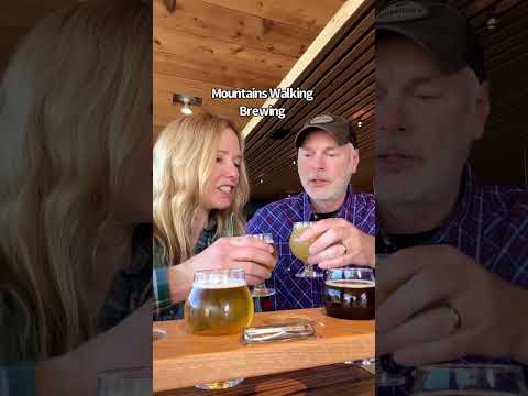
THINGS TO DO · YOUTUBE SHORT
5 Reasons to Visit Bozeman, MT
A local activity Short shared by bestwesternTV.
Watch on YouTube ↗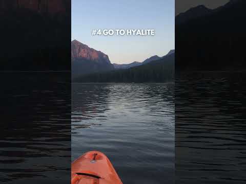
THINGS TO DO · YOUTUBE SHORT
10 Best Things to Do in Bozeman, MT in the Summer
A local activity Short shared by Bozeman Real Estate Group.
Watch on YouTube ↗Around Bozeman


More outdoors near Bozeman
- Camping near Bozeman
- Fishing near Bozeman
- Boating and kayaking near Bozeman
- Biking and mountain biking near Bozeman
- Picnic spots near Bozeman
- Horseback riding near Bozeman
- Wildlife viewing and birding near Bozeman
- Swimming holes and lakes near Bozeman
- Off-roading and OHV areas near Bozeman
- Snow play and winter sports near Bozeman
- Parks in Bozeman
- Day trips
- Weather by month
Questions
Where is the closest place for hiking near Bozeman?
Custer Gallatin National Forest (USDA Forest Service), about 0 miles south of Bozeman as the crow flies. Next are Lower Hyalite Group (9 mi) and Langohr Campground (10 mi).
When is the best time for hiking near Bozeman?
Based on Bozeman’s average highs, March–June, August–October. Conditions at higher elevations can be much cooler.
Who manages these places?
Federal agencies including USDA Forest Service, Bureau of Land Management, National Park Service. Each listing links to its official page for hours, fees, closures and current conditions.